Why Do Scientists Want to Make a 3D Map of the World?
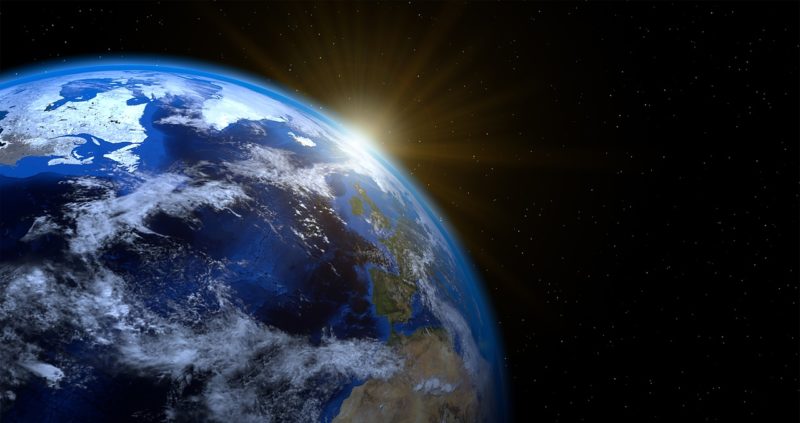
Humans have been creating maps since we started exploring the world, giving us the tools to find our way home and explore the unknown. We’ve come a long way since explorers marked unknown areas with “Here there be dragons” — we’ve mapped the majority of the known world thanks to aircraft and satellites in orbit.
Now, modern scientists want to take map-making a step further and create a 3D map of the entire planet. But why do they want to make a 3D map of the world, and how will future generations benefit from this information?
Mapping the Planet
We can take photos of the planet from orbit, but these 2D images only show part of the picture. So much is hidden in jungles and under the ocean’s surface that we’d never see with a cursory visual examination. That’s where 3D maps come in.
By using aircraft-mounted LIDAR, scientists can create a map of the planet, seeing things on the ground as small as 20cm or the size of a construction brick. Researchers have already used this technology to make some astonishing discoveries, such as the existence of extensive Mayan cities containing more than 61,000 structures in Guatemala — all hidden beneath the thick jungle canopy. This is just a small sample of what this technology can accomplish.
Before It’s Too Late
Why are scientists in such a rush to start this project?
The threat of climate change looms beyond coastal cities. Wildfires, hurricanes, earthquakes and rising sea levels could potentially eliminate thousands of years of human history — and we wouldn’t even know it was gone. The Earth Archive project wants to preserve the knowledge of these ancient cities and relics for future generations to explore and study before they disappear forever.
LIDAR is one of the most effective tools for projects like Earth Archive. The military developed LIDAR 3D laser scanning technology in the early 1960s as a tool for detecting submarines from the air. This simple technology sends a laser pulse that bounces off hard surfaces like stone and is small enough to pass through dense vegetation. Using it, we’ll be able to see what ancient civilizations have left behind without needing to damage the forests that now call them home.
Thinking of Future Generations
If accelerated climate change continues unchecked, we will lose a lot of our species’ history — and without projects like Earth Archive, we wouldn’t even know where to look.
Earth Archive will show us more than the places ancient civilizations called home. It will help preserve these places so that future generations can enjoy them. It will give us the tools to learn more about these regions that until now have been lost to time, hidden beneath dense foliage.
Not The Perfect Solution
Earth Archive might be the first project of its time, but operating LIDAR is both expensive and time-consuming. According to experts, just scanning the Amazon rainforest could take two to three years and would cost upwards of $15 million. It’s also not the best solution for areas where changes are happening quickly, such as where new volcanic islands are forming.
Once it’s perfected, though, Earth Archive and similar projects could provide environmentalists, archeologists and other scientists with an open-sourced map of the world and the secrets it hides.
Would you like to receive similar articles by email?
Megan Ray Nichols
Megan Ray Nichols is a freelance writer, amateur astronomer, and science enthusiast. She loves to travel and read books.


You May Also Like
Aquarius Constellation
Galaxy Cluster MS0735 – Three Telescopes Show a Very Different Picture